Step 01
We set up your map
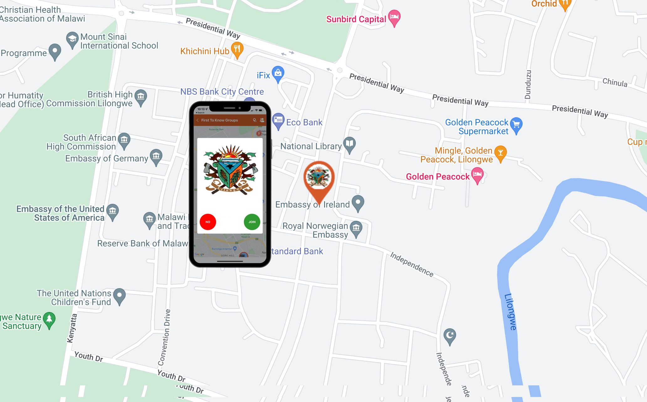
Your map is configured for your jurisdiction with custom branding and direct links to your website — reinforcing trust and recognition with your audience.
UgoRound is a cloud-based GIS platform for public safety teams to instantly publish location-based warnings, manage incidents, and reach your community—anonymously, with no app download or sign-up required.
AI Assisted Common Alerting Protocol (CAP) Compliant Alerts
01
0+
residents reached per alert
median across active deployments
02
0s
from incident pin to public alert
median publish latency
03
0%
signup required
anonymous by design, no PII
04
0%
engagement rate
browser + push, no app required
Get started in 10 minutes
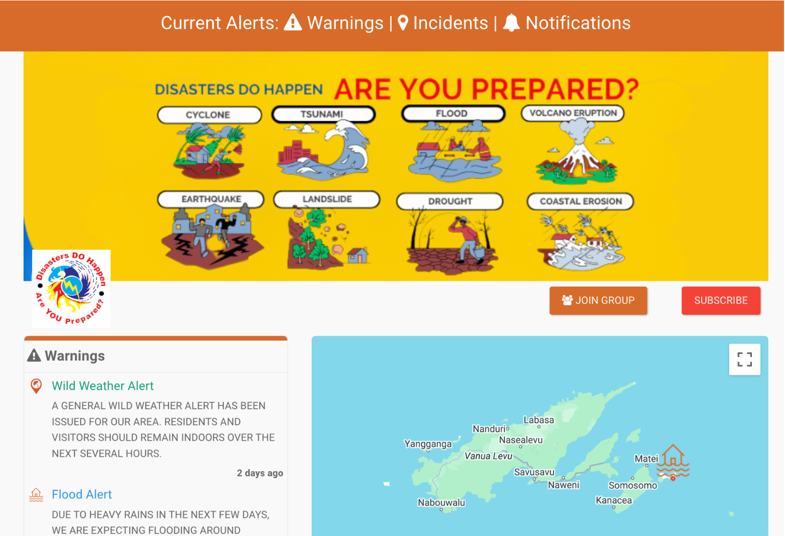
We configure the platform to match your operational structure, ensuring the community sees a live map relevant to their location — on any device, with no app install, account sign up, or learning curve.
Your map is configured for your jurisdiction with custom branding and direct links to your website — reinforcing trust and recognition with your audience.
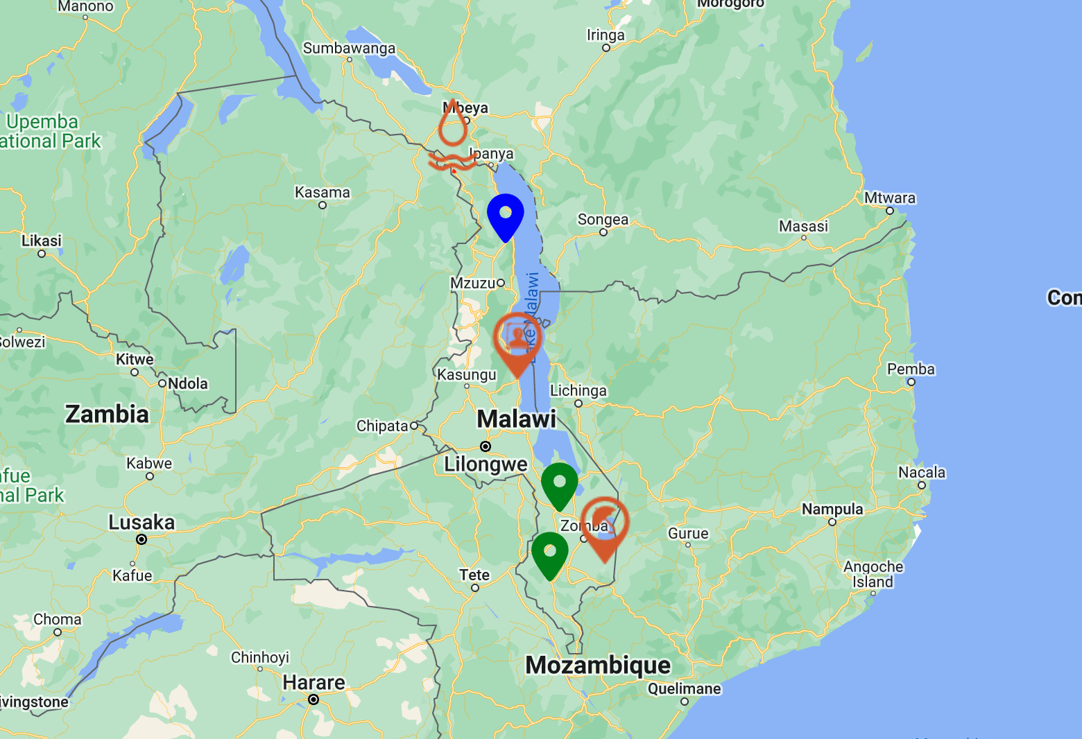
Define the audiences that matter — City Wards, Towns, Municipalities, any group that should be the "First to Know" — then send the same alert to all or some, instantly.
Publish a pin, a polygon, or a layer. The map updates everywhere it's embedded — your website, your socials, public QR posters — at once.
The platform
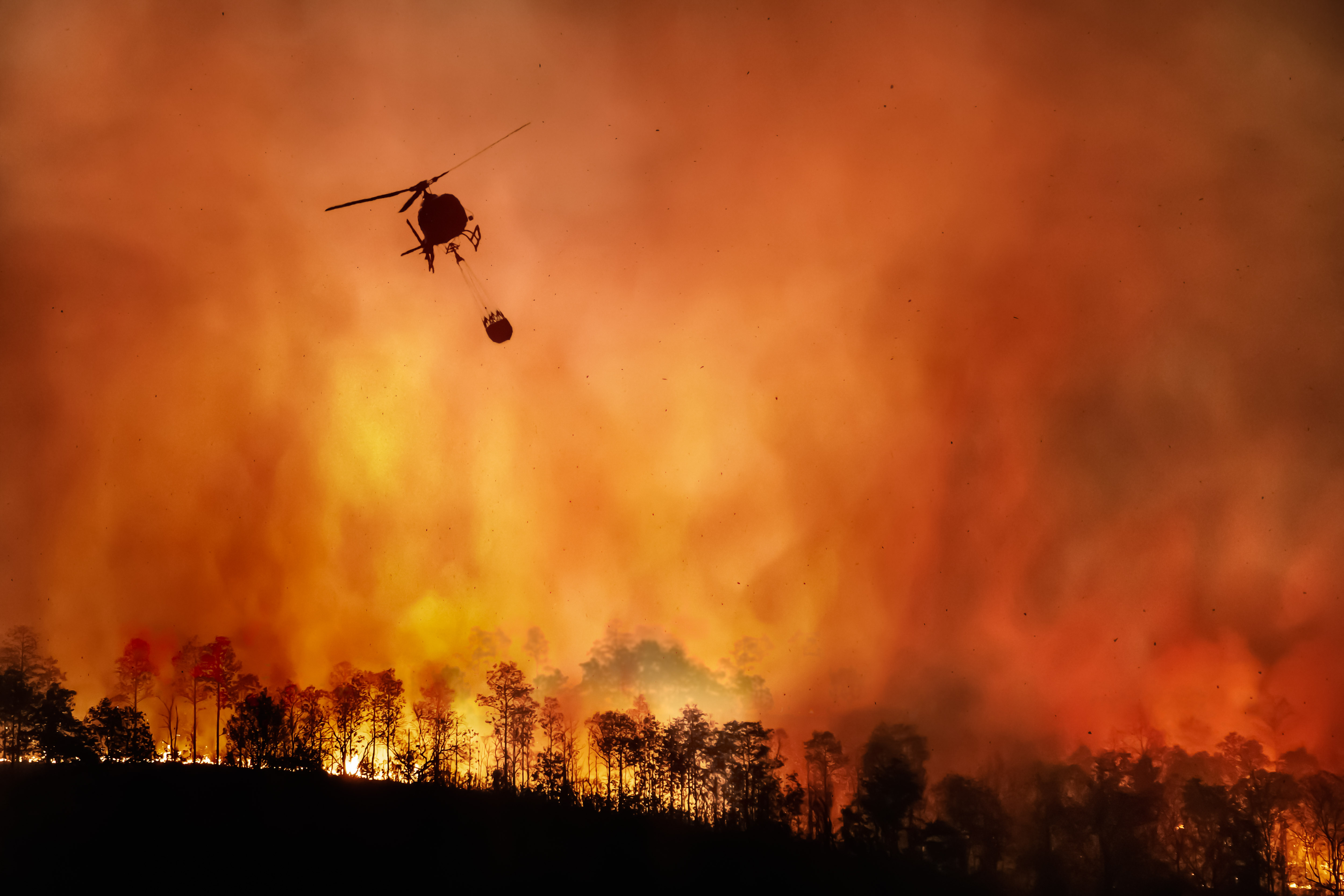
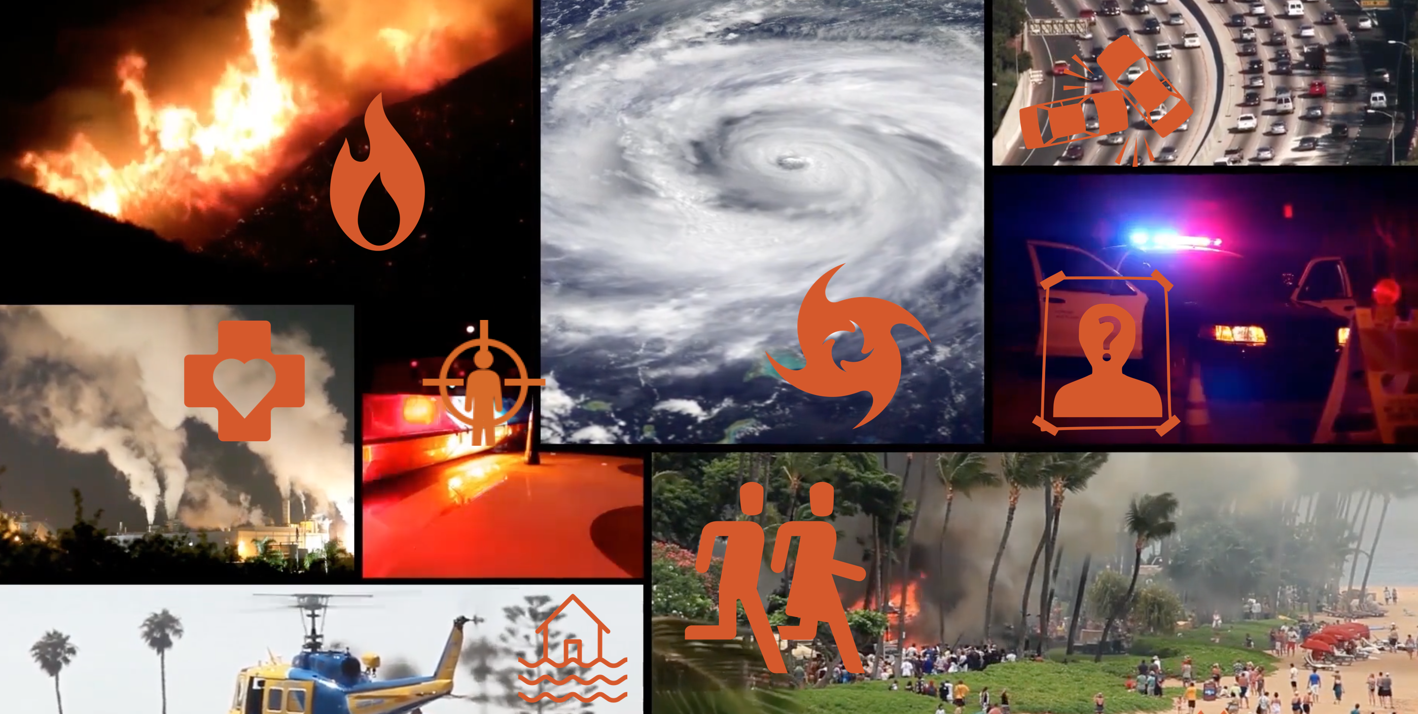
Multi-hazard alerting tools augment SMS and existing systems, closing communication gaps with one unified platform.
A configurable GIS canvas authorised teams use to publish location-pinned warnings and incidents — embeddable in any website with a snippet of code.
Trigger localised alerts the moment someone enters or approaches a defined zone — relevant to where the user actually is, not where they live.
Create First to Know groups for neighbourhoods, municipalities, schools, hospitals, places of worship, workplaces, and communities. Groups are curated directly on the map and can be joined anonymously with a single click.
Custom GIS overlays that track an unfolding event — flood lines, road closures, evacuation corridors — updated by your team in real time.
Anonymous, location-tagged polls that turn community input into a heat map of sentiment, need, and emerging issues.
Plot incidents the moment they're observed and promote them straight into a public alert when they cross a threshold.
Every alert includes a built-in feedback rating system. This enables communities to provide contextual input on alert relevance, helping agencies continuously improve communication effectiveness, targeting, and public trust.
Who we serve
Public-safety teams across government, civic, and utility services run UgoRound as their first-to-know channel — because your community shouldn't need an app, an account, or understand English to stay safe.
what you'll see