
One platform. Many Sectors.
Public-safety teams across government, civic, and utility services run UgoRound as their first-to-know channel — because residents shouldn't need an app, an account, or perfect English to stay safe.
6 sectors · global delivery · sendai framework target g
Governments
Equip federal and state disaster agencies with a single, geo-aware warning fabric — operable centrally or pushed down to local commands.

Cities & Towns
Localised alerting with multilingual support, sentiment capture, and CAP-compliant messaging that drops into any municipal site or QR poster.

Law Enforcement
Surface missing-person, suspect, and incident notices on a public map with anonymous tip-back and full audit trail.

Emergency Management
A persistent peacetime channel that sits alongside SMS and social, with geofenced alerting and post-event recovery messaging.
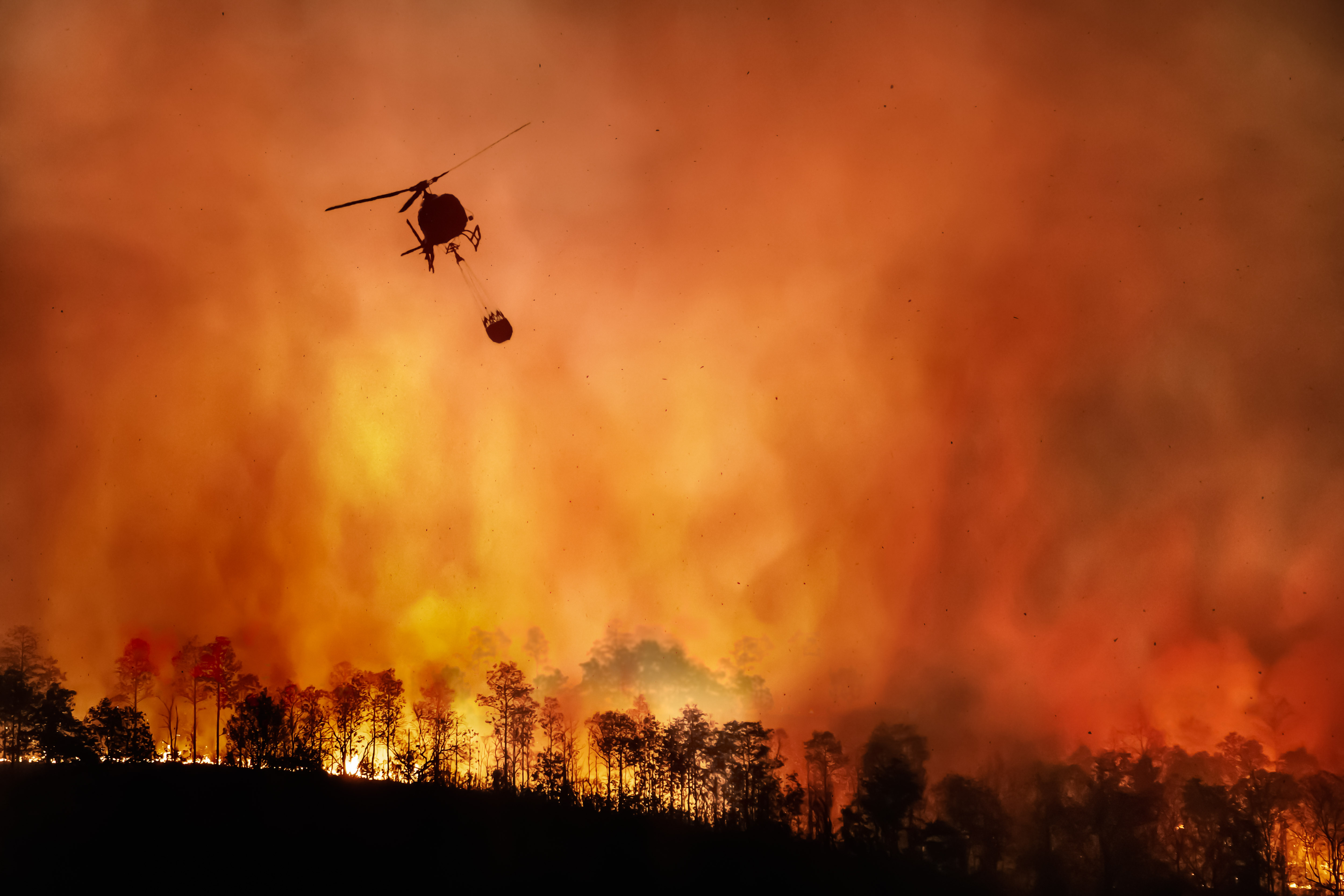
Crises & Disasters
Deploy a public-facing crisis map in minutes for communities and first responders, with built-in multilingual access and zero registration required for affected populations.

Utilities — Water · Power · Gas
Outage maps and restoration timelines that customers can view, react to, and rate — without ever logging in.